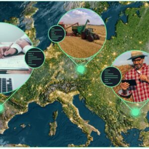
Image Source: EOSDA EOSDA LandViewer is an advanced geospatial platform that is changing how satellite images are used in various fields. It offers easy access to a large collection of high-quality images of the Earth, ranging from historical data...